




Paths
In designing the routes, requirements were applied when
possible that match those set by the European Ramblers
Association and the Green Flag Trails, the international
practice that arises from presentations made at the
International Conferences of World Trails Networks as well
as requirements established by a Ministerial Decree. The
routes of the suggested network are spread across the entire
island, covering the main points of environmental and cultural
interest.

possible that match those set by the European Ramblers
Association and the Green Flag Trails, the international
practice that arises from presentations made at the
International Conferences of World Trails Networks as well
as requirements established by a Ministerial Decree. The
routes of the suggested network are spread across the entire
island, covering the main points of environmental and cultural
interest.
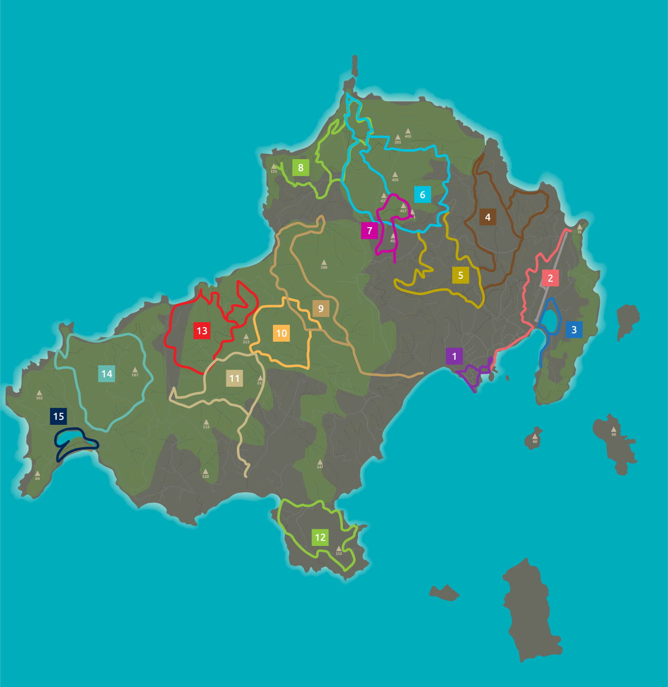
Route ST1 The Town

Important stops along the route
The round of the Town of Skiathos
Points of Cultural Interest
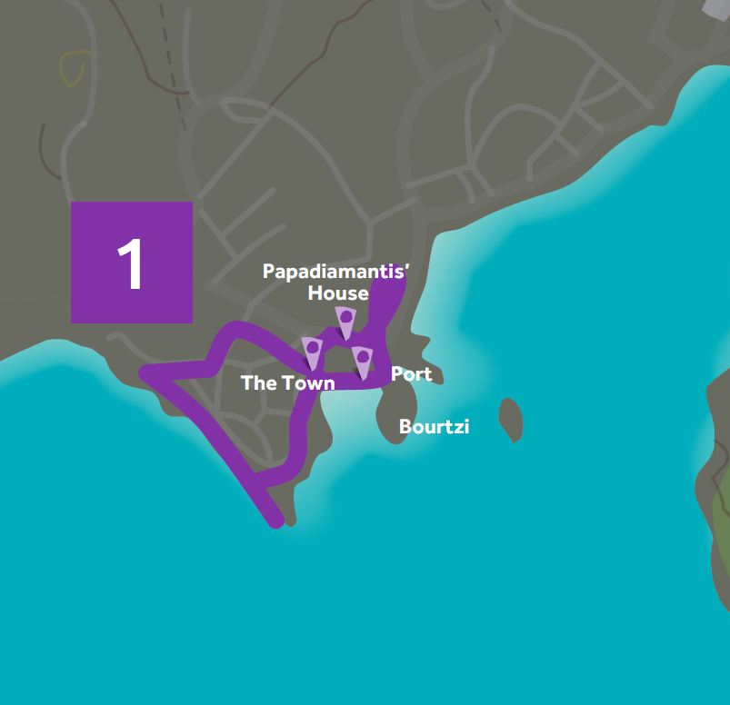
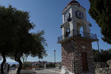
The commune of the Town of Skiathos, Papadiamantis’ House, Port,
Bourtzi
Description
This route is the round of the town of the island and it helps hikers
discover its hidden secrets. Cobbled streets, old trade roads,
manufacturers’ buildings, churches, famous structures and points of view.
It also constitutes the perfect way to familiarise oneself with not only the
architecture of the island but the lifestyle of its residents as well.
The houses are small and simple, a combination of different styles
influenced by the typical architecture of the island and of Pelion. The route
makes its way mainly on the city’s historical fabric, along low traffic roads
and urban paths.
The round of the Town of Skiathos
Points of Cultural Interest
The commune of the Town of Skiathos, Papadiamantis’ House, Port,
Bourtzi
Description
This route is the round of the town of the island and it helps hikers
discover its hidden secrets. Cobbled streets, old trade roads,
manufacturers’ buildings, churches, famous structures and points of view.
It also constitutes the perfect way to familiarise oneself with not only the
architecture of the island but the lifestyle of its residents as well.
The houses are small and simple, a combination of different styles
influenced by the typical architecture of the island and of Pelion. The route
makes its way mainly on the city’s historical fabric, along low traffic roads
and urban paths.
Agios Nikolaos
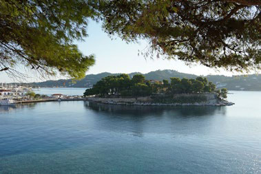
Bourtzi
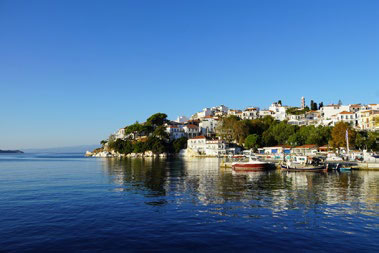
Port
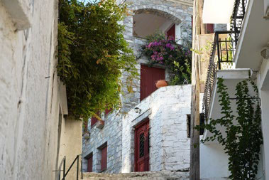
Plakes
Route ST2 Ships and Planes

Important stops along the route
Town - Promenade - Xanemos
Points of Cultural Interest
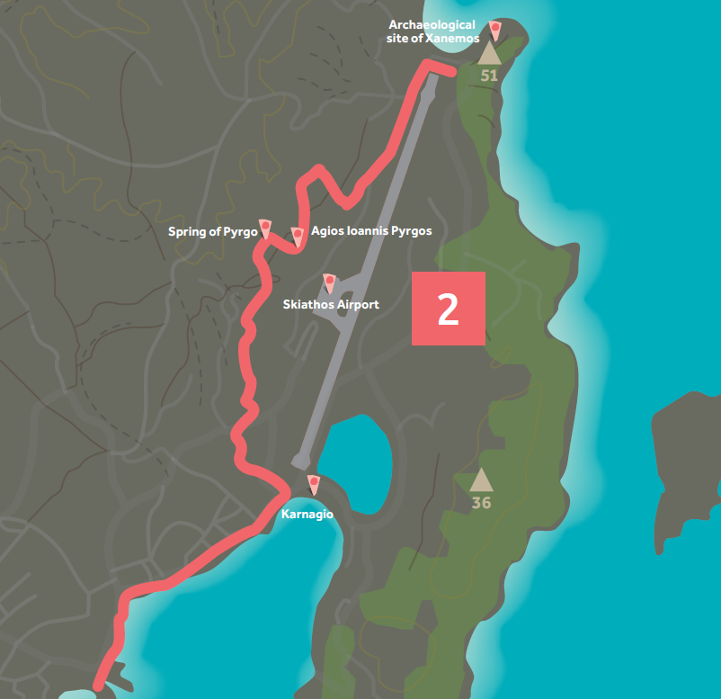
Agios Ioannis Pyrgos, Spring of Pyrgos, Archaeological site of Xanemos,
Skiathos Airport, Karnagio (boatyard)
Description and Environmental Information
This route was designed to enable hikers to easily cross the old boatyards
and to also observe the famous Skiathos airport from different points of
view. At the same time, it showcases historical spots, such as springs, small
chapels and archaeological sites.
The land is mainly covered by olive groves.
Town - Promenade - Xanemos
Points of Cultural Interest
Agios Ioannis Pyrgos, Spring of Pyrgos, Archaeological site of Xanemos,
Skiathos Airport, Karnagio (boatyard)
Description and Environmental Information
This route was designed to enable hikers to easily cross the old boatyards
and to also observe the famous Skiathos airport from different points of
view. At the same time, it showcases historical spots, such as springs, small
chapels and archaeological sites.
The land is mainly covered by olive groves.
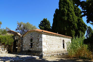
Agios Ioannis Pyrgos

Airport
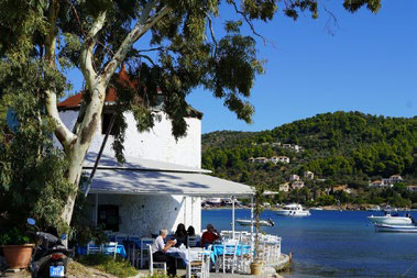
Mylos
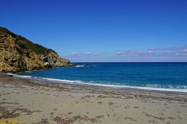
Xanemos
Route ST3 Lake and Sea

Important stops along the route
Agios Georgios Wetland
Points of Cultural Interest
Karnagio (boatyard), Well of Agios Georgios
Description and Environmental Information
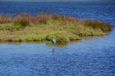
This is an easy, circular route exclusively on asphalt road, with a beautiful
view of the Agios Georgios wetland. It’s ideal for birdwatching and it also
passes by Karnagio. It’s suitable for jogging as well.
The land is mainly covered by agriculture with extensive areas of natural
vegetation.
Agios Georgios Wetland
Points of Cultural Interest
Karnagio (boatyard), Well of Agios Georgios
Description and Environmental Information
This is an easy, circular route exclusively on asphalt road, with a beautiful
view of the Agios Georgios wetland. It’s ideal for birdwatching and it also
passes by Karnagio. It’s suitable for jogging as well.
The land is mainly covered by agriculture with extensive areas of natural
vegetation.
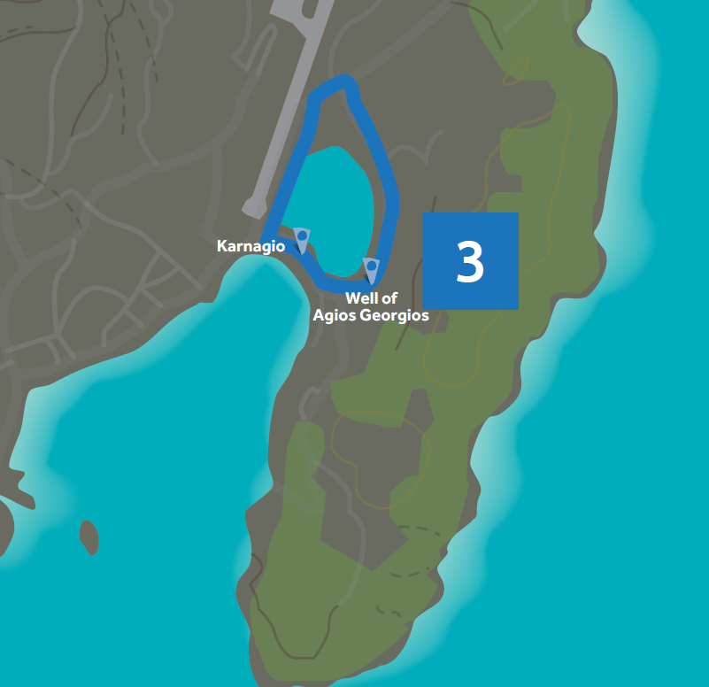
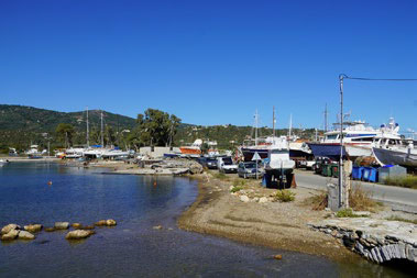
Karnagio
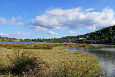
Lake
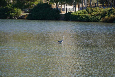
Panida
-
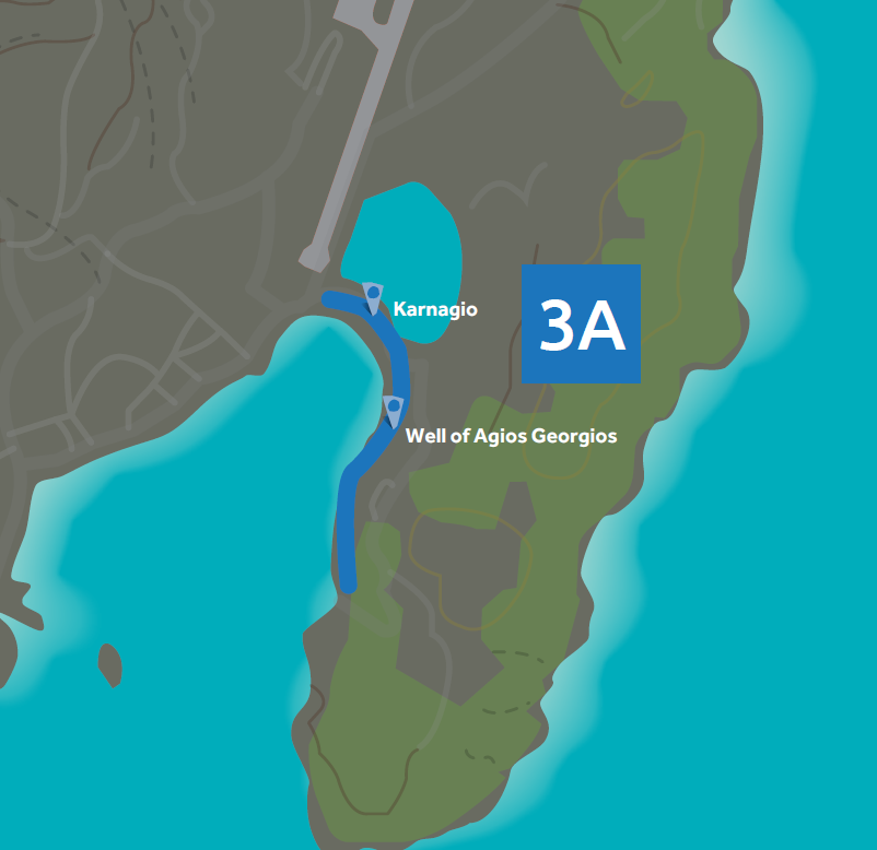
Route ST3Α Lake and Sea

Important stops along the route
Agios Georgios Wetland - Pounta
Points of Cultural Interest
Agios Georgios, Karnagio (boatyard)
Description and Environmental Information
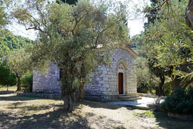
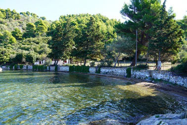
This is a small route, branching out from ST3. It’s a beautiful walk by the
sea in a pine tree forest passing by the church of Agios Georgios. It is
suggested that this route be walked as a round trip.
The land is mainly covered by agriculture with extensive areas of natural
vegetation.
Agios Georgios Wetland - Pounta
Points of Cultural Interest
Agios Georgios, Karnagio (boatyard)
Description and Environmental Information
This is a small route, branching out from ST3. It’s a beautiful walk by the
sea in a pine tree forest passing by the church of Agios Georgios. It is
suggested that this route be walked as a round trip.
The land is mainly covered by agriculture with extensive areas of natural
vegetation.
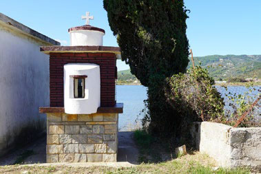
Agios Georgios
-
-
Fauna
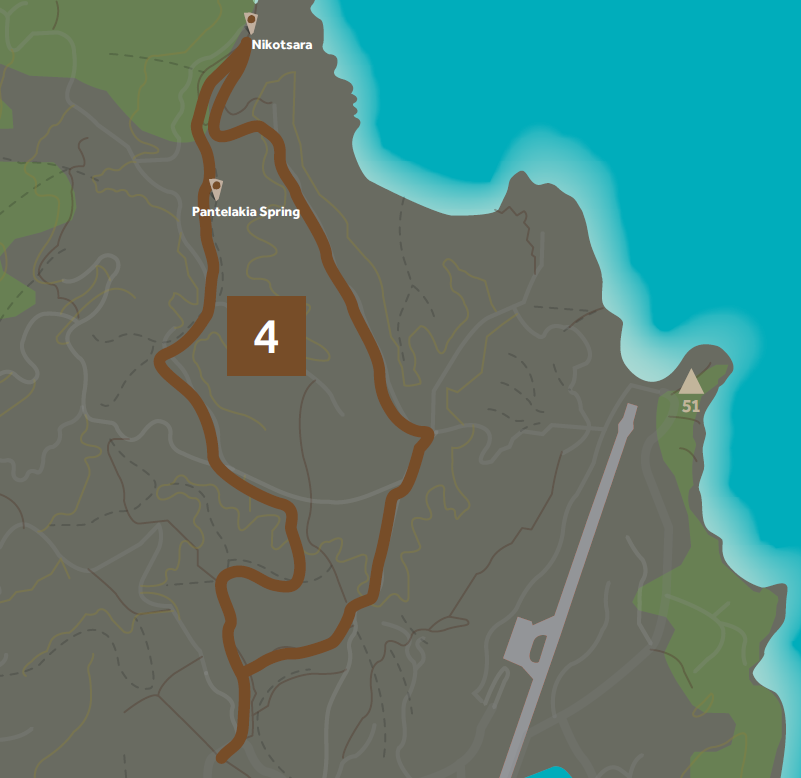
Route ST4 The Olive Path

Important stops along the route
Town - Nikotsara Beach - Town
Points of Cultural Interest
Nikotsara Beach (historic), Pantelakia Spring
Description and Environmental Information
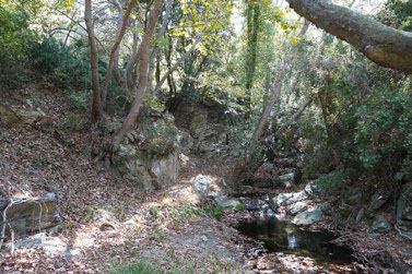
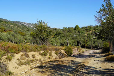
This route passes by agricultural landscapes of Skiathos, mainly olive
groves, with raised banks of land and farmlands. It starts from the town
and the Ganoti stream and then leads through the stream of Agalianou (or
Nikotsara) to the Nikotsara beach (or Lechouni). From the beach, another
path returns to town, offering spectacular viewpoints.
The land is mainly covered by Sclerophyllous vegetation and olive groves.
Town - Nikotsara Beach - Town
Points of Cultural Interest
Nikotsara Beach (historic), Pantelakia Spring
Description and Environmental Information
This route passes by agricultural landscapes of Skiathos, mainly olive
groves, with raised banks of land and farmlands. It starts from the town
and the Ganoti stream and then leads through the stream of Agalianou (or
Nikotsara) to the Nikotsara beach (or Lechouni). From the beach, another
path returns to town, offering spectacular viewpoints.
The land is mainly covered by Sclerophyllous vegetation and olive groves.
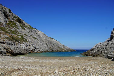
Lechouni - Nikotsara Beach
-
-
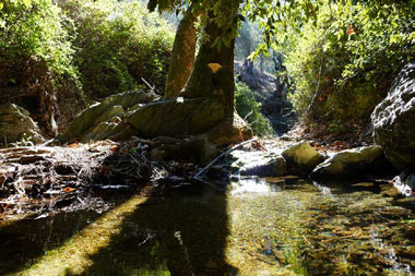
-
Route ST4Α The Olive Path

Important stops along the route
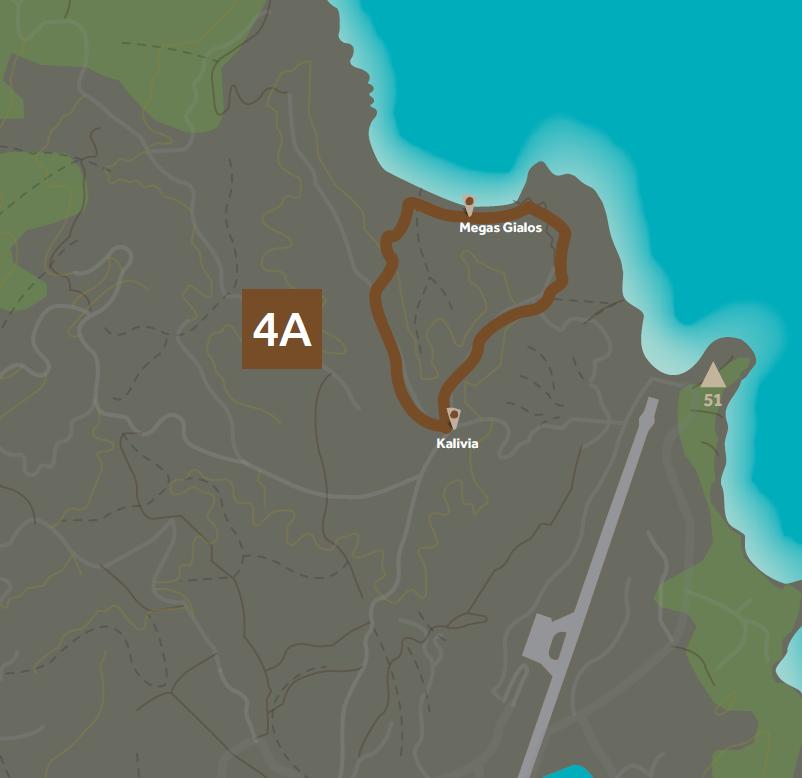
Kalivia - Megas Gialos - Kalivia
Points of Cultural Interest
Nikotsara Beach (historic), Pantelakia Spring
Description and Environmental Information
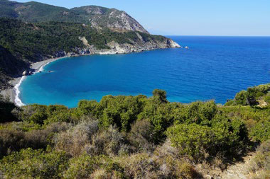
This route, a branch of Route 4, is an alternative course to reach the beach
Megas Gialos. It’s a detour that allows hikers to meet this beach of wild
beauty which is in no other way accessible by land.
The land is mainly covered by Sclerophyllous vegetation and olive groves
Kalivia - Megas Gialos - Kalivia
Points of Cultural Interest
Nikotsara Beach (historic), Pantelakia Spring
Description and Environmental Information
This route, a branch of Route 4, is an alternative course to reach the beach
Megas Gialos. It’s a detour that allows hikers to meet this beach of wild
beauty which is in no other way accessible by land.
The land is mainly covered by Sclerophyllous vegetation and olive groves
Megas Gialos
-
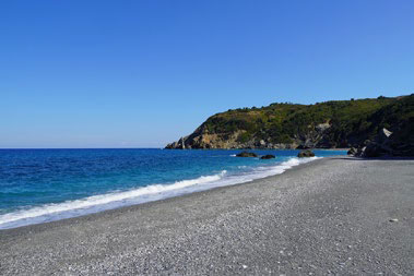
Megas Gialos
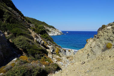
Megas Gialos
Route ST5 The Roads of the Monastery

Important stops along the route
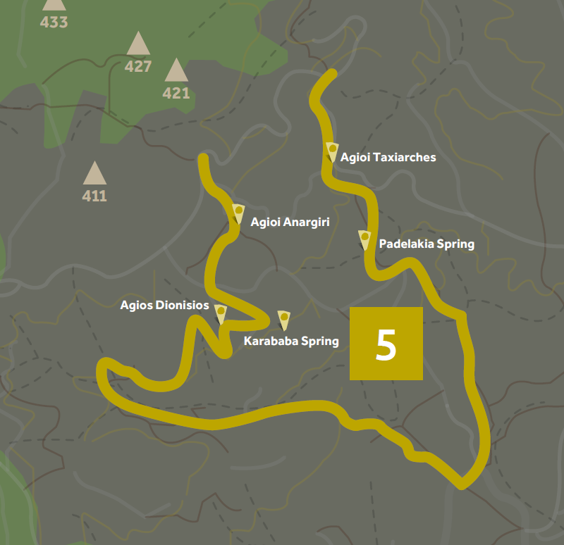
Town - Monastery of Evangelistria - Town
Points of Cultural Interest
Stamelou Spring, Agioi Taxiarches, Monastery of Evangelistria, Agioi
Anargiri, Agios Dionisios, Karababa Spring
Description and Environmental Information
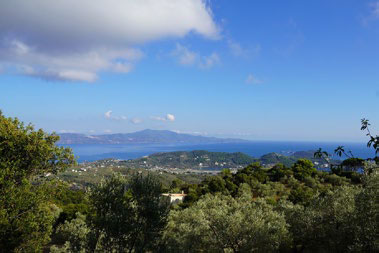
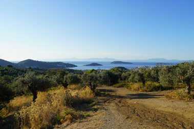
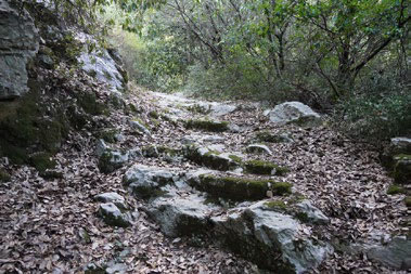
This path is one of the network’s main ones. Through exceptional paths, it
unites the town to the Monastery of Evangelistria offering a route through
olive groves, agricultural landscapes, viewpoints, impressive cobbled
streets, little chapels and springs.
This route also acts as a main connection point between the town and the
rest of the network on the north part of the island. The hiker can make
his way from the Monastery to Agios Charalambos and Kastro through
another route.
Town - Monastery of Evangelistria - Town
Points of Cultural Interest
Stamelou Spring, Agioi Taxiarches, Monastery of Evangelistria, Agioi
Anargiri, Agios Dionisios, Karababa Spring
Description and Environmental Information
This path is one of the network’s main ones. Through exceptional paths, it
unites the town to the Monastery of Evangelistria offering a route through
olive groves, agricultural landscapes, viewpoints, impressive cobbled
streets, little chapels and springs.
This route also acts as a main connection point between the town and the
rest of the network on the north part of the island. The hiker can make
his way from the Monastery to Agios Charalambos and Kastro through
another route.
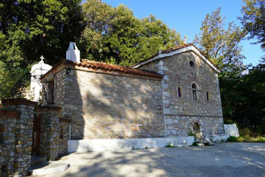
Agios Taksiarchis
-
-
-
Route ST6 The Roads of Kastro

Important stops along the route
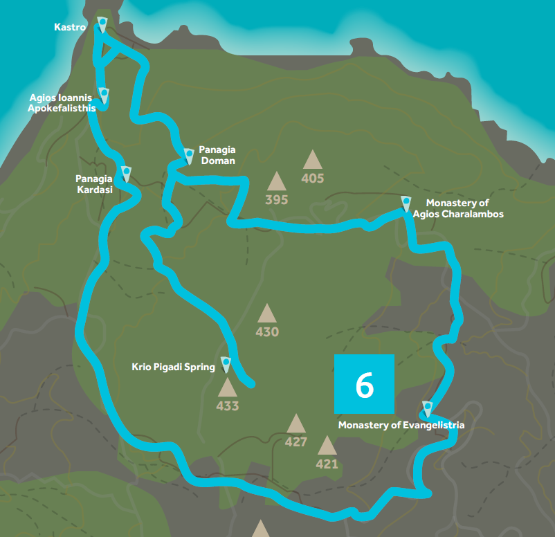
Monastery of Evangelistria - Monastery of Agios Charalambos - Kastro -
Monastery of Evangelistria
Points of Cultural Interest
Monastery of Evangelistria, Monastery of Agios Charalambos, Kastro,
Agios Ioannis Apokefalisthis, Panagia Kardasi, Krio Pigadi Spring
Description and Environmental Information
Outside built-up areas, this route presents a particular part of Skiathos,
with olive groves, holly and kermes oaks, Monasteries and little chapels,
watermills, threshing floors and springs, antiquities, cobbled streets and
beaches. It’s definitely one of the “fullest” hiking routes of the network.
The land is covered by olive groves, broadleaf forests and transitional
woody and shrubby areas. The route crosses the Aesthetic Forest of
Skiathos.
Monastery of Evangelistria - Monastery of Agios Charalambos - Kastro -
Monastery of Evangelistria
Points of Cultural Interest
Monastery of Evangelistria, Monastery of Agios Charalambos, Kastro,
Agios Ioannis Apokefalisthis, Panagia Kardasi, Krio Pigadi Spring
Description and Environmental Information
Outside built-up areas, this route presents a particular part of Skiathos,
with olive groves, holly and kermes oaks, Monasteries and little chapels,
watermills, threshing floors and springs, antiquities, cobbled streets and
beaches. It’s definitely one of the “fullest” hiking routes of the network.
The land is covered by olive groves, broadleaf forests and transitional
woody and shrubby areas. The route crosses the Aesthetic Forest of
Skiathos.
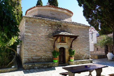
Agios Charalambos
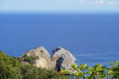
Kastro
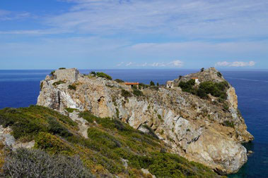
Kastro
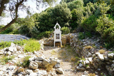
Agios Dimitrios
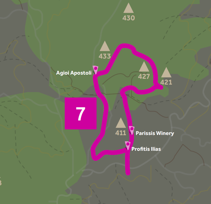
Route ST7 Walking on the Peaks

Important stops along the route
Agios Antonios - Korafa Peak - Mytikas Peak - Agios Antonios - Profitis Ilias
Points of Cultural Interest
Agioi Apostoli, Profitis Ilias, Parissis Winery
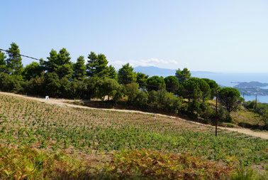
Description and Environmental Information
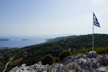
Skiathos isn’t high in altitude. Nonetheless, its peaks offer unending views
to Pelion, Skopelos, Alonissos and the entire Skiathos island. This route
offers easy hiking between the peaks and it also passes by the Winery.
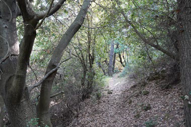
The land is mainly covered by agriculture with extensive areas of natural
vegetation, Sclerophyllous vegetation and broadleaf forests. Part of the
route is included in the Aesthetic Forest of Skiathos.
Agios Antonios - Korafa Peak - Mytikas Peak - Agios Antonios - Profitis Ilias
Points of Cultural Interest
Agioi Apostoli, Profitis Ilias, Parissis Winery
Description and Environmental Information
Skiathos isn’t high in altitude. Nonetheless, its peaks offer unending views
to Pelion, Skopelos, Alonissos and the entire Skiathos island. This route
offers easy hiking between the peaks and it also passes by the Winery.
The land is mainly covered by agriculture with extensive areas of natural
vegetation, Sclerophyllous vegetation and broadleaf forests. Part of the
route is included in the Aesthetic Forest of Skiathos.
-
-
Mytikas Peak
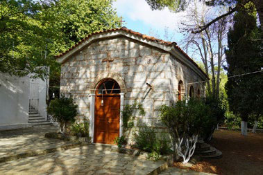
Profitis Ilias
Route ST8 Faith and Antiquities

Important stops along the route
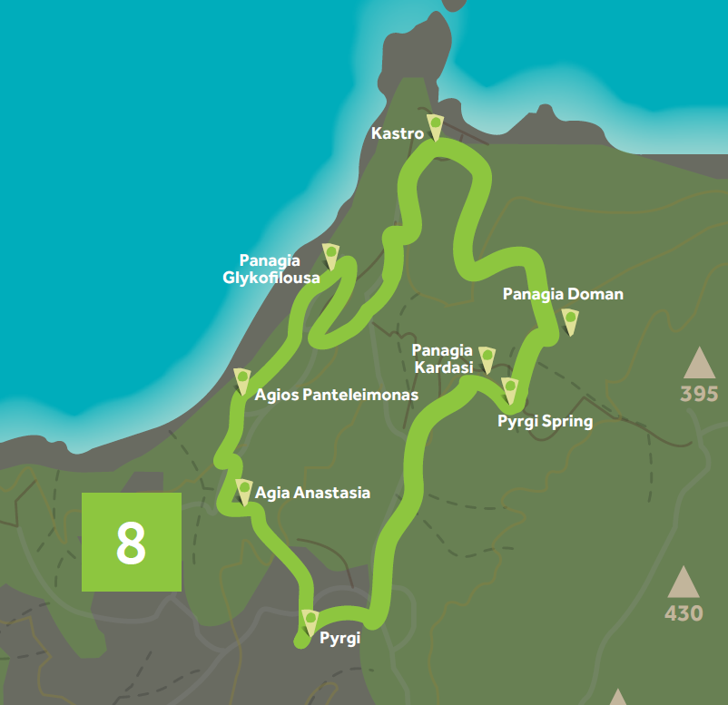
Pyrgi - Kastro - Pyrgi
Points of Cultural Interest
Pyrgi, Agia Anastasia, Agios Panteleimonas, Panagia Glykofilousa, Kastro,
Watermill, Panagia Doman, Panagia Kardasi, Pyrgi Spring
Description and Environmental Information
In one of the most special corners of Skiathos, where history intertwines
with religion and nature with agricultural production, this route starts at
Pyrgi and the Church of Agia Anastasia, passes by Agios Panteleimonas,
Panagia Glykofilousa and Agios Ioannis Apokefalisthis and ends in Kastro.
From that point on, it passes by Panagia Doman, Panagia Kardasi and then
ends back where it started from.
The land is covered by broadleaf forests, olive groves and areas of thin
vegetation. The route goes through the Aesthetic Forest of Skiathos.
Pyrgi - Kastro - Pyrgi
Points of Cultural Interest
Pyrgi, Agia Anastasia, Agios Panteleimonas, Panagia Glykofilousa, Kastro,
Watermill, Panagia Doman, Panagia Kardasi, Pyrgi Spring
Description and Environmental Information
In one of the most special corners of Skiathos, where history intertwines
with religion and nature with agricultural production, this route starts at
Pyrgi and the Church of Agia Anastasia, passes by Agios Panteleimonas,
Panagia Glykofilousa and Agios Ioannis Apokefalisthis and ends in Kastro.
From that point on, it passes by Panagia Doman, Panagia Kardasi and then
ends back where it started from.
The land is covered by broadleaf forests, olive groves and areas of thin
vegetation. The route goes through the Aesthetic Forest of Skiathos.
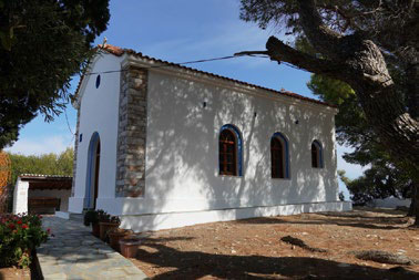
Agios Ioannis Kastro
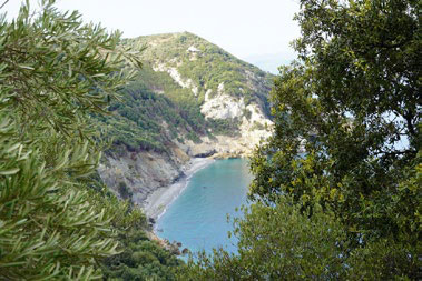
Agios Panteleimonas
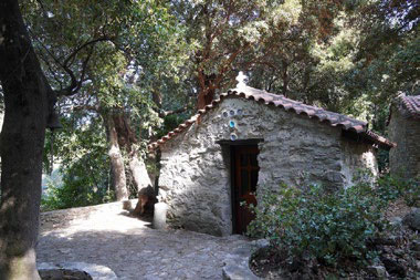
Agia Anastasa
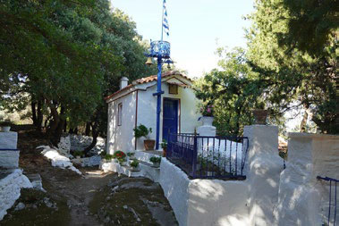
Panagia Kardasi
Route ST8A Faith and Antiquities

Important stops along the route
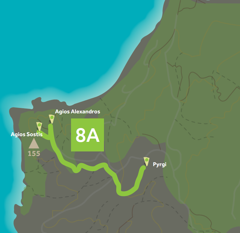
Pyrgi - Agios Alexandros - Agios Sostis
Points of Cultural Interest
Pyrgi, Agia Anastasà, Agios Alexandros, Agios Sostis
Description and Environmental Information
This route is branch of ST8 and it makes its way exclusively on dirt road. It
is an easy hike from Pyrgi to the churches of Agios Alexandros and Agios
Sozon. These points offer exceptional views towards the north shores of
Skiathos and Pelion.
The land is covered by broadleaf forests, olive groves and areas of thin
vegetation. The route goes through the Aesthetic Forest of Skiathos.
Pyrgi - Agios Alexandros - Agios Sostis
Points of Cultural Interest
Pyrgi, Agia Anastasà, Agios Alexandros, Agios Sostis
Description and Environmental Information
This route is branch of ST8 and it makes its way exclusively on dirt road. It
is an easy hike from Pyrgi to the churches of Agios Alexandros and Agios
Sozon. These points offer exceptional views towards the north shores of
Skiathos and Pelion.
The land is covered by broadleaf forests, olive groves and areas of thin
vegetation. The route goes through the Aesthetic Forest of Skiathos.
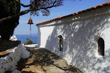
Agios Sostis
-
-
-
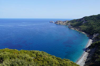
Route ST9 Following the Water

Important stops along the route
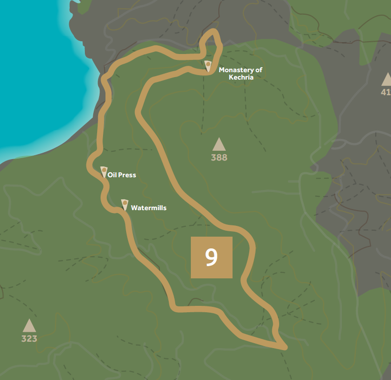
Kechria Beach - creek of Acheelà - Monastery of Kechria - Kechria Beach
Points of Cultural Interest
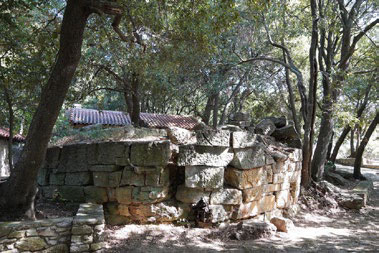
Monastery of Kechria, Oil Press, Watermills
Description and Environmental Information
Two creeks of abundant water, exuberant vegetation and an extensive
network of paths is what awaits the explorer in the wider region of the
Monastery of Kechria. This long route includes the Monastery of Kechria,
the Kechria creek with the watermills and the oil presses, the Acheelà
creek and hiking on the forest above it as well as the Kechria beach and
Lygaries beach.
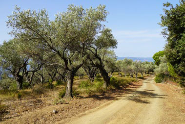
Olive groves, coniferous and broadleaf forests cover the land. The area is
included in the Aesthetic Forest of Skiathos and is a Wildlife Refuge where
hunting is prohibited.
Kechria Beach - creek of Acheelà - Monastery of Kechria - Kechria Beach
Points of Cultural Interest
Monastery of Kechria, Oil Press, Watermills
Description and Environmental Information
Two creeks of abundant water, exuberant vegetation and an extensive
network of paths is what awaits the explorer in the wider region of the
Monastery of Kechria. This long route includes the Monastery of Kechria,
the Kechria creek with the watermills and the oil presses, the Acheelà
creek and hiking on the forest above it as well as the Kechria beach and
Lygaries beach.
Olive groves, coniferous and broadleaf forests cover the land. The area is
included in the Aesthetic Forest of Skiathos and is a Wildlife Refuge where
hunting is prohibited.
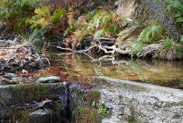
Kechria Creek
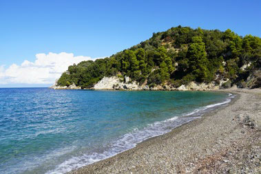
Kechria / Tarsanas
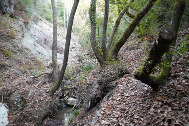
Kechria Creek
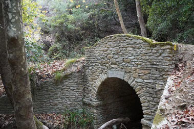
Kechria Creek
Route ST9A Following the Water

Important stops along the route
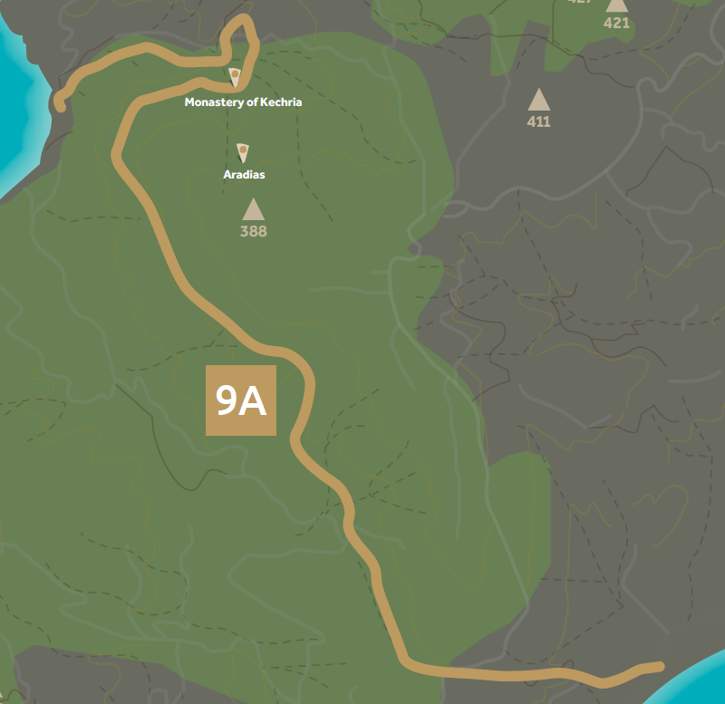
Megali Ammos - Agios Antonios - Monastery of Kechria - Kechria Beach
Points of Cultural Interest
Agios Antonios, Monastery of Kechria, Aradias
Description and Environmental Information
This route branches off from ST9. It sets out to connect through an uphill
but pleasant hike Megali Ammos (and thus the town of Skiathos) with the
Monastery of Kechria and the Kechria Beach, essentially connecting the
south with the north of the island.
Olive groves, coniferous and broadleaf forests cover the land. The area
is part of the Aesthetic Forest of Skiathos and is a Wildlife Refuge where
hunting is prohibited.
Megali Ammos - Agios Antonios - Monastery of Kechria - Kechria Beach
Points of Cultural Interest
Agios Antonios, Monastery of Kechria, Aradias
Description and Environmental Information
This route branches off from ST9. It sets out to connect through an uphill
but pleasant hike Megali Ammos (and thus the town of Skiathos) with the
Monastery of Kechria and the Kechria Beach, essentially connecting the
south with the north of the island.
Olive groves, coniferous and broadleaf forests cover the land. The area
is part of the Aesthetic Forest of Skiathos and is a Wildlife Refuge where
hunting is prohibited.
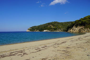
Kechria Aligaries
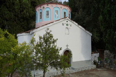
Monastery of Panagia Kechria
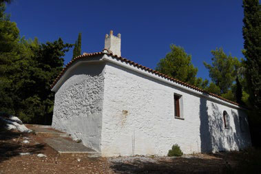
Agios Antonios
-
Route ST10 Water and Air

Important stops along the route
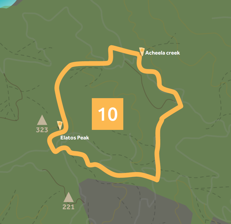
Acheelà creek - Elatos Peak - Acheelà creek
Description and Environmental Information
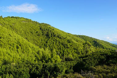
Elatos Peak offers panoramic views of the forest of Skiathos. The hiker’s
sensation of huge open space contrasts beautifully with the thick,
exuberant vegetation of the Acheelà creek just below. These two elements
were combined in a route that is indeed difficult due to the differences
in altitude but it more than makes up for it even for the most demanding
of hikers.
The land is mainly covered by agriculture with extensive areas of natural
vegetation and transitional woody and shrubby areas. The area is part of
the Aesthetic Forest of Skiathos.
Acheelà creek - Elatos Peak - Acheelà creek
Description and Environmental Information
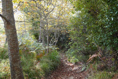
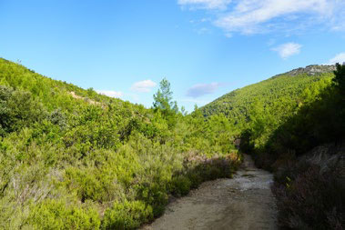
Elatos Peak offers panoramic views of the forest of Skiathos. The hiker’s
sensation of huge open space contrasts beautifully with the thick,
exuberant vegetation of the Acheelà creek just below. These two elements
were combined in a route that is indeed difficult due to the differences
in altitude but it more than makes up for it even for the most demanding
of hikers.
The land is mainly covered by agriculture with extensive areas of natural
vegetation and transitional woody and shrubby areas. The area is part of
the Aesthetic Forest of Skiathos.
-
-
-
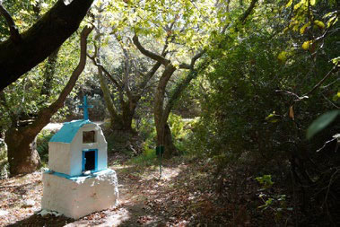
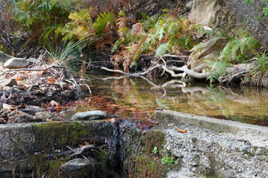
Creek of Acheela
Route ST10A Water and Air

Important stops along the route
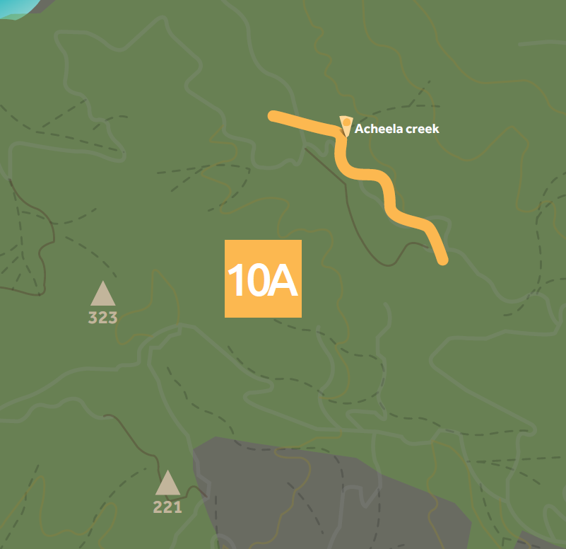
Circular route of the Acheela creek
Description and Environmental Information
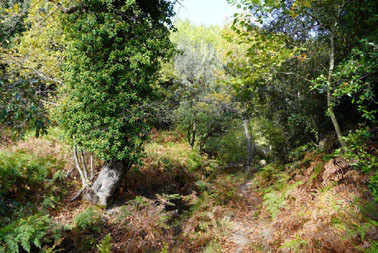
Two routes of increased difficulty pass through the creek of Acheelà, a
very mild and beautiful creek. In a way, the ST10A route isolates the creek,
eliminating the hiking difficulties. Using the adjoining dirt road, it wraps up
in a circular way without any technical or altitude challenges while at the
same time offering a view from above towards the creek.
The land is mainly covered by agriculture with extensive areas of natural
vegetation and transitional woody and shrubby areas. The area is part of
the Aesthetic Forest of Skiathos.
Circular route of the Acheela creek
Description and Environmental Information
Two routes of increased difficulty pass through the creek of Acheelà, a
very mild and beautiful creek. In a way, the ST10A route isolates the creek,
eliminating the hiking difficulties. Using the adjoining dirt road, it wraps up
in a circular way without any technical or altitude challenges while at the
same time offering a view from above towards the creek.
The land is mainly covered by agriculture with extensive areas of natural
vegetation and transitional woody and shrubby areas. The area is part of
the Aesthetic Forest of Skiathos.
-
-
-
-
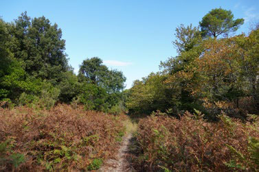
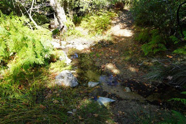
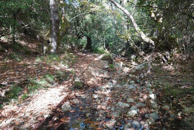
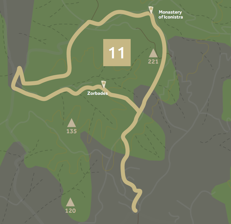
Route ST11 Panorama of Skiathos

Important stops along the route
Zorbades - Monastery of Iconistra - Zorbades - (Platanias)
Points of Cultural Interest
Zorbades, Spot where Iconistra was found, Monastery of Iconistra
Description and Environmental Information
This is a route that offers constant views to all directions. It was designed
to be as close to the inhabited parts of Skiathos as possible. At the same
time, it visits the Monastery of Iconistra as well as the spot where the icon
was found. It is also connected to Platanias in the south.
The land is covered by coniferous forests and transitional woody and
shrubby areas, agriculture and extensive areas of natural vegetation. The
area is part of the Aesthetic Forest of Skiathos.
At the end of the route, close to the beach of Platanias, there is “Platanias
swamp”, a wetland that is included in the List of Small Islandy Wetlands
protected by Presidential Decree.
Zorbades - Monastery of Iconistra - Zorbades - (Platanias)
Points of Cultural Interest
Zorbades, Spot where Iconistra was found, Monastery of Iconistra
Description and Environmental Information
This is a route that offers constant views to all directions. It was designed
to be as close to the inhabited parts of Skiathos as possible. At the same
time, it visits the Monastery of Iconistra as well as the spot where the icon
was found. It is also connected to Platanias in the south.
The land is covered by coniferous forests and transitional woody and
shrubby areas, agriculture and extensive areas of natural vegetation. The
area is part of the Aesthetic Forest of Skiathos.
At the end of the route, close to the beach of Platanias, there is “Platanias
swamp”, a wetland that is included in the List of Small Islandy Wetlands
protected by Presidential Decree.
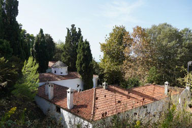
Monastery of Iconistra
-
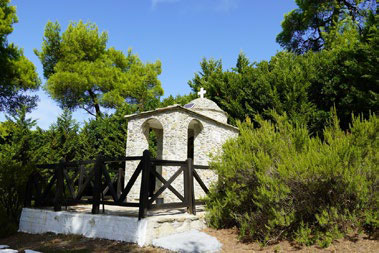
Holy Site of Iconistra
-
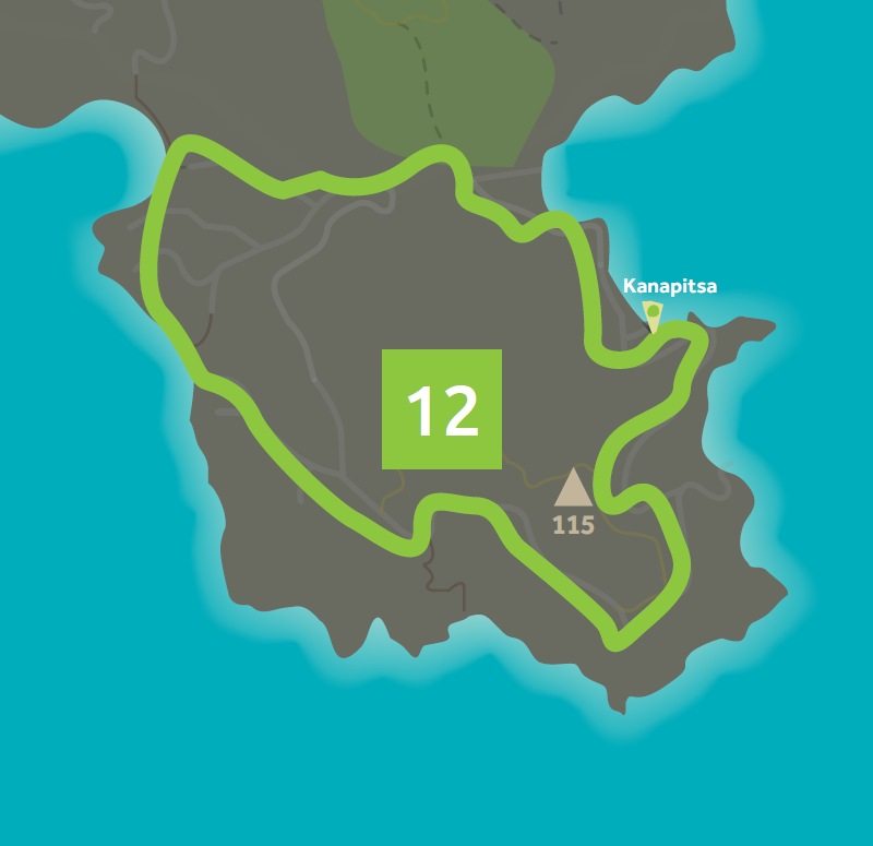
Route ST12 The Round of Kanapitsa

Important stops along the route
Round of Kanapitsa
Description and Environmental Information
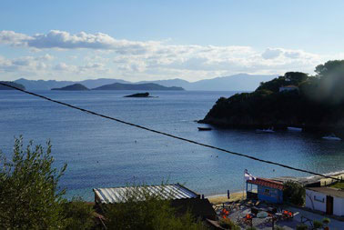
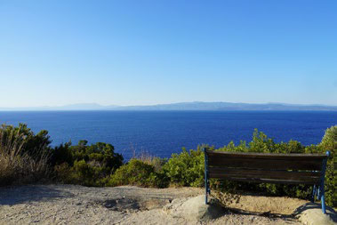
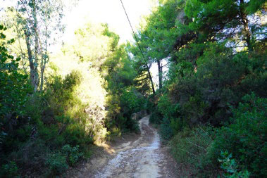
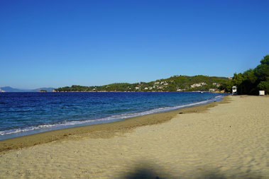
This is a circular route that passes by the beaches and viewpoints
of Kanapitsa. It visits Kanapitsa, Vromolismnos and Kolios beach
consecutively. It’s also an ideal route for jogging.
The land is covered mainly by agriculture with extensive areas of natural
vegetation and by coniferous and broadleaf forests. The seaside course
along Kolios crosses the “Vromolimnos” wetland, included in the List of
Small Islandy Wetlands protected by Presidential Decree. Habitats can also
be found.
Round of Kanapitsa
Description and Environmental Information
This is a circular route that passes by the beaches and viewpoints
of Kanapitsa. It visits Kanapitsa, Vromolismnos and Kolios beach
consecutively. It’s also an ideal route for jogging.
The land is covered mainly by agriculture with extensive areas of natural
vegetation and by coniferous and broadleaf forests. The seaside course
along Kolios crosses the “Vromolimnos” wetland, included in the List of
Small Islandy Wetlands protected by Presidential Decree. Habitats can also
be found.
Janeria
-
Kalamaki
Kanapitsa
Route ST13 Mountain and Sea

Important stops along the route
Monastery of Iconistra - Aselinos - Monastery of Iconistra
Points of Cultural Interest
Monastery of Iconistra, Agios Ioannis Krifos, Dog Shelter
Description and Environmental Information
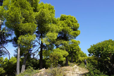
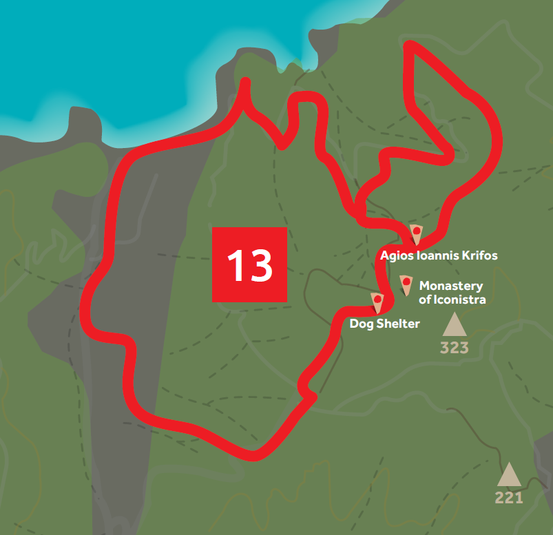
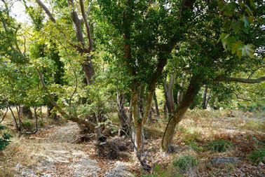
This is a nature route where the verdant pine forest prevails, flirting at
times with the sea, the view and the lush creeks. It begins in the Monastery
of Iconistra, then crosses Agios Ioannis Krifos, passes through the forest
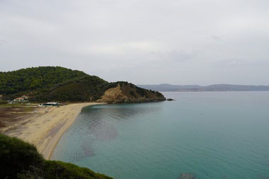
and slowly descends to Mikros Aselinos beach and then Megalos Aselinos
beach. From that point on, it moves parallel to the creek, on a very mild
traffic road, and goes back up to the Monastery of Iconistra via an old
forest path.
The land is covered mainly by agriculture with extensive areas of natural
vegetation and coniferous forests. Part of the route is included in the
Aesthetic Forest of Skiathos.
Monastery of Iconistra - Aselinos - Monastery of Iconistra
Points of Cultural Interest
Monastery of Iconistra, Agios Ioannis Krifos, Dog Shelter
Description and Environmental Information
This is a nature route where the verdant pine forest prevails, flirting at
times with the sea, the view and the lush creeks. It begins in the Monastery
of Iconistra, then crosses Agios Ioannis Krifos, passes through the forest
and slowly descends to Mikros Aselinos beach and then Megalos Aselinos
beach. From that point on, it moves parallel to the creek, on a very mild
traffic road, and goes back up to the Monastery of Iconistra via an old
forest path.
The land is covered mainly by agriculture with extensive areas of natural
vegetation and coniferous forests. Part of the route is included in the
Aesthetic Forest of Skiathos.
-
Aselinos
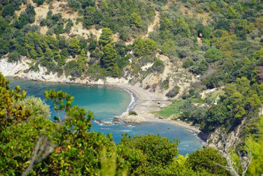
Kechria / Tarsanas
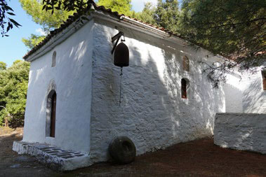
Agios Ioannis Partheni
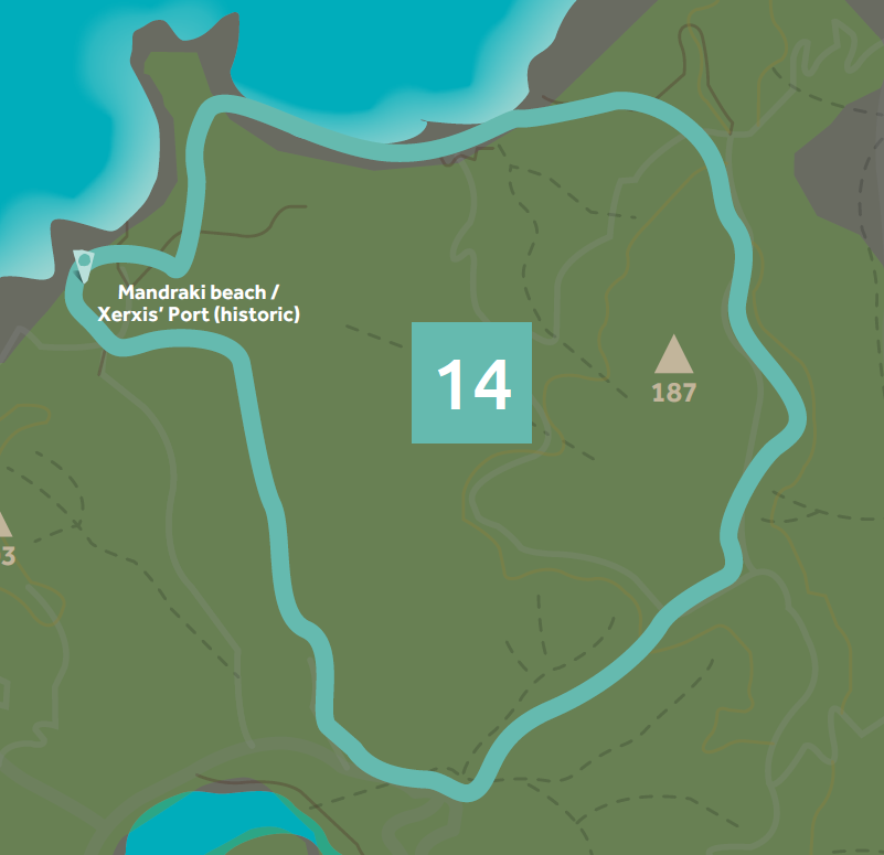
Route ST14 Forest and Sea

Important stops along the route
Koukounaries - Mandraki beach - Elias beach - Agkistros beach -
Koukounaries
Points of Cultural Interest
Mandraki beach / Xerxis’ Port (historic)
Description and Environmental Information
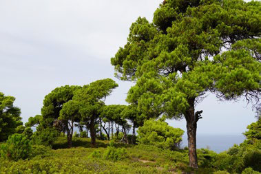
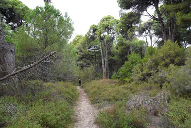
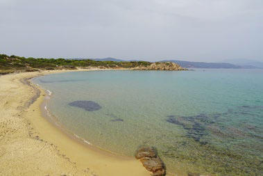
This is an easy route, without a lot of differences in altitude, moving
mainly through landscapes of natural beauty, such as Mandraki, Elias and
Agkistros beaches, the Aesthetic Forest of Mandraki and the ridge of
Trachalomandra with a view of Koukounaries and the Strofylia wetland. It
combines paths, mild traffic dirt roads and walking along the coastline.
The land is covered mainly by agriculture with extensive areas of natural
vegetation and by coniferous and broadleaf forests and is also part of the
Aesthetic Forest of Skiathos.
Koukounaries - Mandraki beach - Elias beach - Agkistros beach -
Koukounaries
Points of Cultural Interest
Mandraki beach / Xerxis’ Port (historic)
Description and Environmental Information
This is an easy route, without a lot of differences in altitude, moving
mainly through landscapes of natural beauty, such as Mandraki, Elias and
Agkistros beaches, the Aesthetic Forest of Mandraki and the ridge of
Trachalomandra with a view of Koukounaries and the Strofylia wetland. It
combines paths, mild traffic dirt roads and walking along the coastline.
The land is covered mainly by agriculture with extensive areas of natural
vegetation and by coniferous and broadleaf forests and is also part of the
Aesthetic Forest of Skiathos.
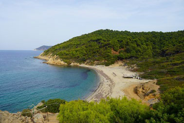
Agkistros
-
-
Elias
Route ST15 Fresh and Salt Water

Important stops along the route
Strofylia wetland
Description and Environmental Information
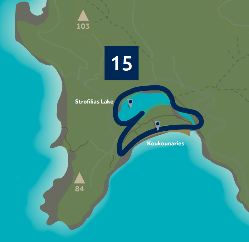
This route offers a pleasant and very mild hiking experience in the
wetland of Strofylia. It combines the unique beauty of the Aesthetic
Forest of Koukounaries with the spectacular beach and the impressive
wetland where one can enjoy birdwatching.
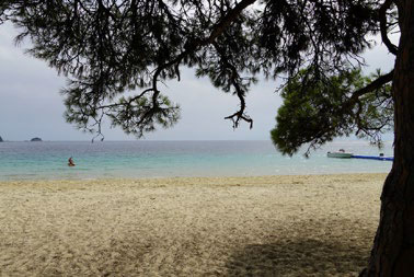
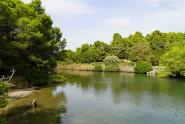
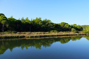
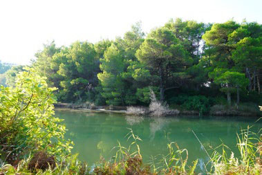
The round of Strofylia is essentially a route inside the lake of
Koukounaries (aka Strofylia). The wetland is part of an area included in
the European Ecological Network under both NATURA 2000 “Skiathos:
Koukounaries and wider maritime area” and Wildlife Refuge, where
hunting is forbidden.
It is a lagoon behind a famous and highly touristic beach. Between
the lagoon and the sea, there is a wide zone of mature dunes where a
forest of Koukounaries is developed -one of the three most important
forests of the type in Greece. One can also find salvia cistus, myrtles and
pistacia plants there. Moreover, the forest of Koukounaries is declared an
Aesthetic Forest.
Strofylia wetland
Description and Environmental Information
This route offers a pleasant and very mild hiking experience in the
wetland of Strofylia. It combines the unique beauty of the Aesthetic
Forest of Koukounaries with the spectacular beach and the impressive
wetland where one can enjoy birdwatching.
The round of Strofylia is essentially a route inside the lake of
Koukounaries (aka Strofylia). The wetland is part of an area included in
the European Ecological Network under both NATURA 2000 “Skiathos:
Koukounaries and wider maritime area” and Wildlife Refuge, where
hunting is forbidden.
It is a lagoon behind a famous and highly touristic beach. Between
the lagoon and the sea, there is a wide zone of mature dunes where a
forest of Koukounaries is developed -one of the three most important
forests of the type in Greece. One can also find salvia cistus, myrtles and
pistacia plants there. Moreover, the forest of Koukounaries is declared an
Aesthetic Forest.
-
-
-
-